News In Brief
This section provides the situation on our waters, track closures, water closures, general news and site works
Membership 2026/27
Current Members
Current members who have already renewed their SDAA membership will have their new membership documents posted to them in late May/early June ahead of the new 2026/27 season. Any renewal applications received from 1 May 2026 will be considered on a strictly first come first served basis alongside membership applications received from new/lapsed members.
New & Lapsed Members
Applications for standard SDAA membership for the 2026/27 season are now being accepted from new/lapsed members. Please note that no night permits for the 2026/27 season are available for new/lapsed members. Standard membership does not include a night permit, which is required to night fish at The Airman, Broom Lake and Willington Lake.
Rivers
The IPA rules regarding the Biggleswade Back Meadows are clearly set out on the IPA website and on the signs at the fishery. The permitted fishing times for the Back Meadows are 6am to 11pm from 16th June to 30th September and 7am to 7pm from 1st October to 14th March. You can only fish with a single rod and line, no wading and no bivvies. SDAA members were recently asked to leave the Back Meadows by an IPA bailiff as they had set up bivvies and were clearly intent on fishing past the off time. Please note that there is also no overnight fishing on the IPA’s new stretch at the Riddy in Sandy.
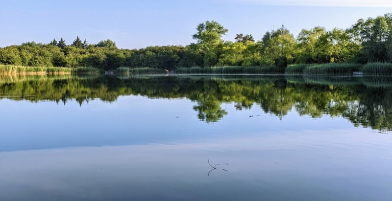
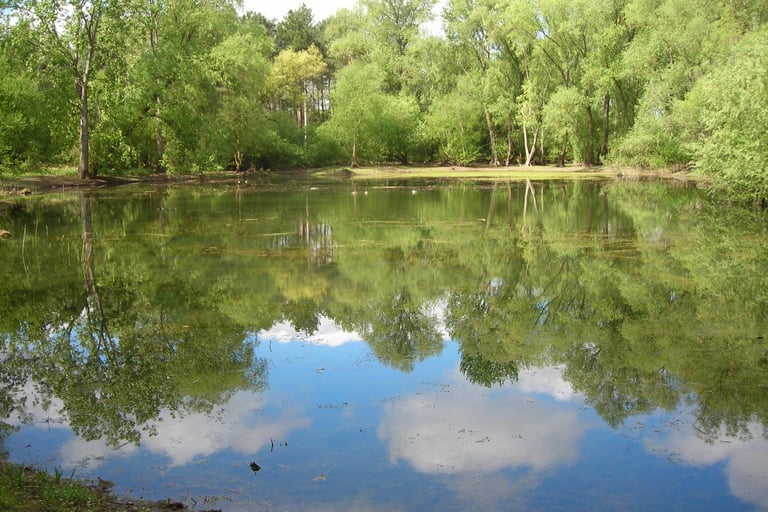
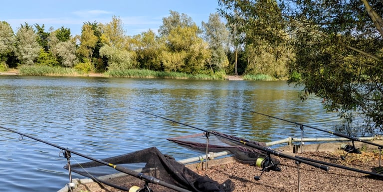
Broom Lake Track - OPEN
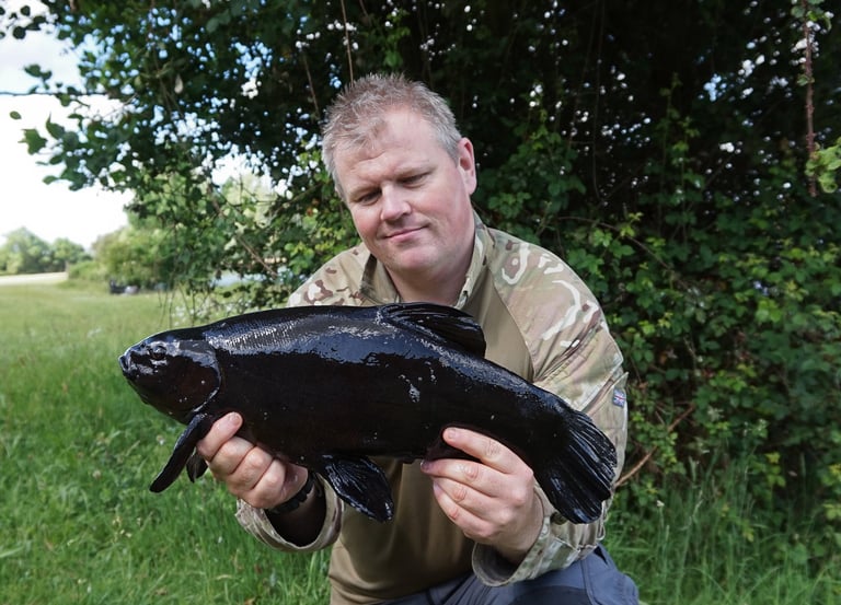
Important Notice: Leadcore and Tackle Safety on SDAA Waters
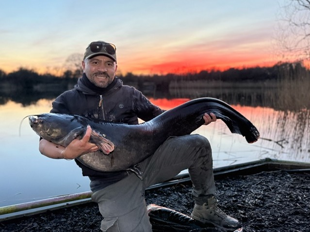
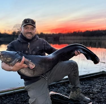
The use of leadcore is strictly prohibited on all SDAA waters. Any member found using leadcore can expect to face a ban from the club. Within the past week, two catfish have been caught trailing rigs that incorporated leadcore, raising serious concerns about fish welfare.
On 9 August 2025, a 50lb catfish was landed while trailing a rig shown in the photos below. The hooklink had failed to eject from the leadcore leader, and the ‘chod sleeve’ had slid up to the spliced section of the leadcore. This made the splice too large for the hooklink ring to pass over and displace the ‘no trace’ bead, effectively creating a potential death rig.
To protect fish welfare, bailiffs are authorised to inspect members’ rigs. Anyone found using leadcore will be reported to the committee.
Additionally, all SDAA members should be aware that bailiffs may ask anglers to stop fishing and leave the water if their tackle is deemed inadequate or unsafe for the species being targeted. Tackle recommendations for carp, catfish, and pike fishing are provided on page 15 of your SDAA Membership Information Booklet.
Club rules also require that:
Anglers must always have an assembled landing net while fishing.
All members must carry and use an unhooking mat or cradle appropriate for the species being targeted, to prevent fish from being placed on the ground.
Status of SDAA Venues
Lake Closures – Important Notice
The Airman
The Airman will be closed for essential works from 18:00 Friday 5 June until 10:00 Sunday 7 June.
Members will not be permitted to access the venue during this period
Broom Lake
Broom Lake and track are open
Shefford and District Angling Association Ltd, Registered in England and Wales No. 05430106
Registered Office: 2 Manor Farm Court, Old Wolverton Road, Old Wolverton, Milton Keynes MK12 5NN
© Copyright Shefford and District Angling Association Ltd. All Rights Reserved